Web-based Tools
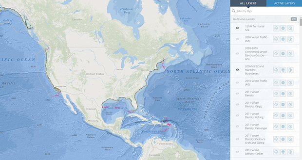
MarineCadastre.gov National Viewer v3.0
This Web-based viewer provides ocean-related data and information from authoritative sources to support ocean-planning efforts.

OceanReports
This is a web-based, report-centric tool for coastal and ocean planners. It provides summary statistics and infographics for six main topics: general information, energy and minerals, natural resources and conservation, oceanographic and biophysical, transportation and infrastructure, and economics and commerce.
Marine Minerals Information System
This web-based viewer provides data and information about offshore mineral resources throughout the U.S. The interactive tool displays information for active leasing, potential sand resources, and beach renourishment. Coastal communities find this a valuable educational resource and a guide for responsible resource stewardship.
Environmental Studies Program Information System (ESPIS)
The ESPIS query tool enables users to search by text or map to find relevant study information, including downloadable study profiles, technical summaries and final reports, and links to publications and digital data.

Ocean Law Search
This tool allows users to search a database of environmental and historic preservation statutes, legislative histories, cases, and other documents on the protection of underwater cultural heritage on the Outer Continental Shelf.
Desktop Tools
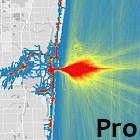
AIS Track Builder Pro 1.0
This ArcGIS Pro toolbox converts vessel positions into track lines, and track lines into a grid. Each grid cell reports the total number of times a vessel has passed through it.

AIS Track Builder 3.1
This ArcGIS Desktop toolbox reads and converts a collection of point features into a track line. Input data can be either in a CSV format or in an existing file geodatabase, beginning with 2015 Marine Cadastre data.
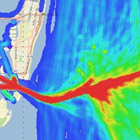
AIS Track Builder 2.1.1
The AIS Track Builder is an ArcGIS Toolbox that converts a collection of point features into a track line according to date, time, and an identifier.
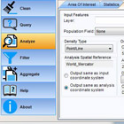
AIS Data Handler
The AIS Data Handler is a desktop AIS data conversion tool and ArcGIS add-in that streamlines the acquisition, loading, filtering, display, and analysis of AIS vessel-tracking data. Please note that this tool is now archived.
